A practical guide to launching and growing open mapping initiatives at the national and local levels
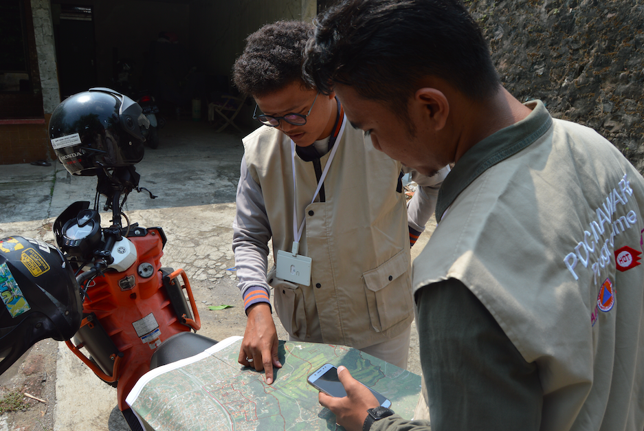
Crowdsourced geospatial data, particularly in OpenStreetMap, is helping fill data gaps at the micro level as well as providing insight into SDG progress on a more real-time basis than is possible through annual/bi-annual surveys and periodic censuses. Empowering communities to geo-locate key community assets and vulnerabilities helps decision-makers gauge coverage, gaps, and risks at the ultra-local level. This guide provides a brief compendium of resources for national bureaus of statistics, national mapping agencies, line ministries, and non-government partners to foster the growth of participatory mapping in their countries and develop national roadmaps. It builds on work from Open Cities, Open Government Partnership, Citizen Science initiatives in the White House, the United States Department of State, MapGive, and Missing Maps. Part IV includes a mapping of SDGs and indicators to suggested open mapping projects.
This guide has been updated as part of the Humanitarian OpenStreetMap Project, funded by the Global Partnership for Sustainable Development Data (GPSDD), “Bridging Gaps in Development and Emergency for the Refugee Crisis in East Africa”. These updates build upon previous HOT projects including the Refugee Mapping Toolkit, found at: hotosm.org/updates/participatory-mapping-toolkit-a-guide-for-refugee-contexts
Version 2.0
Release Date: May 2019
Contributors
Sara Amadi, Humanitarian OpenStreetMap Team;
Jess Beutler, Humanitarian OpenStreetMap Team
Version 1.0
Release Date: September 2016
Contributors
Courtney Clark, US Peace Corps;
Mikel Maron, Mapbox;
Drishtie Patel, OpenStreetMap US;
Tyler Radford, Humanitarian OpenStreetMap Team;
Robert Soden, GFDRR;
Paul Uithol, Humanitarian OpenStreetMap Team
Copyright info
Attribution-ShareAlike 4.0 International (CC BY-SA 4.0)