Goal 13 - Climate Action
Download page as PDFGoal 13: Take urgent action to combat climate change and its impacts
Climate change is now affecting every country on every continent. It is disrupting national economies and affecting lives, costing people, communities and countries dearly today and even more tomorrow. Weather patterns are changing, sea levels are rising, weather events are becoming more extreme and greenhouse gas emissions are now at their highest levels in history. Without action, the world’s average surface temperature is likely to surpass 3 degrees centigrade this century. The poorest and most vulnerable people are being affected the most.
In our changing climate, availability of baseline data - buildings, roads, lifeline infrastructure - is growing ever more important in humanitarian response. When a disaster strikes, responding organizations may scramble to find relevant and up-to-date data to guide their responses. OpenStreetMap can provide this information to disaster responders through activation of volunteer mappers as well as through preemptive mapping efforts by local communities. To reduce the exposure and vulnerability of at-risk communities, governments need to map this data to inform disaster policy and management.
What has been done?
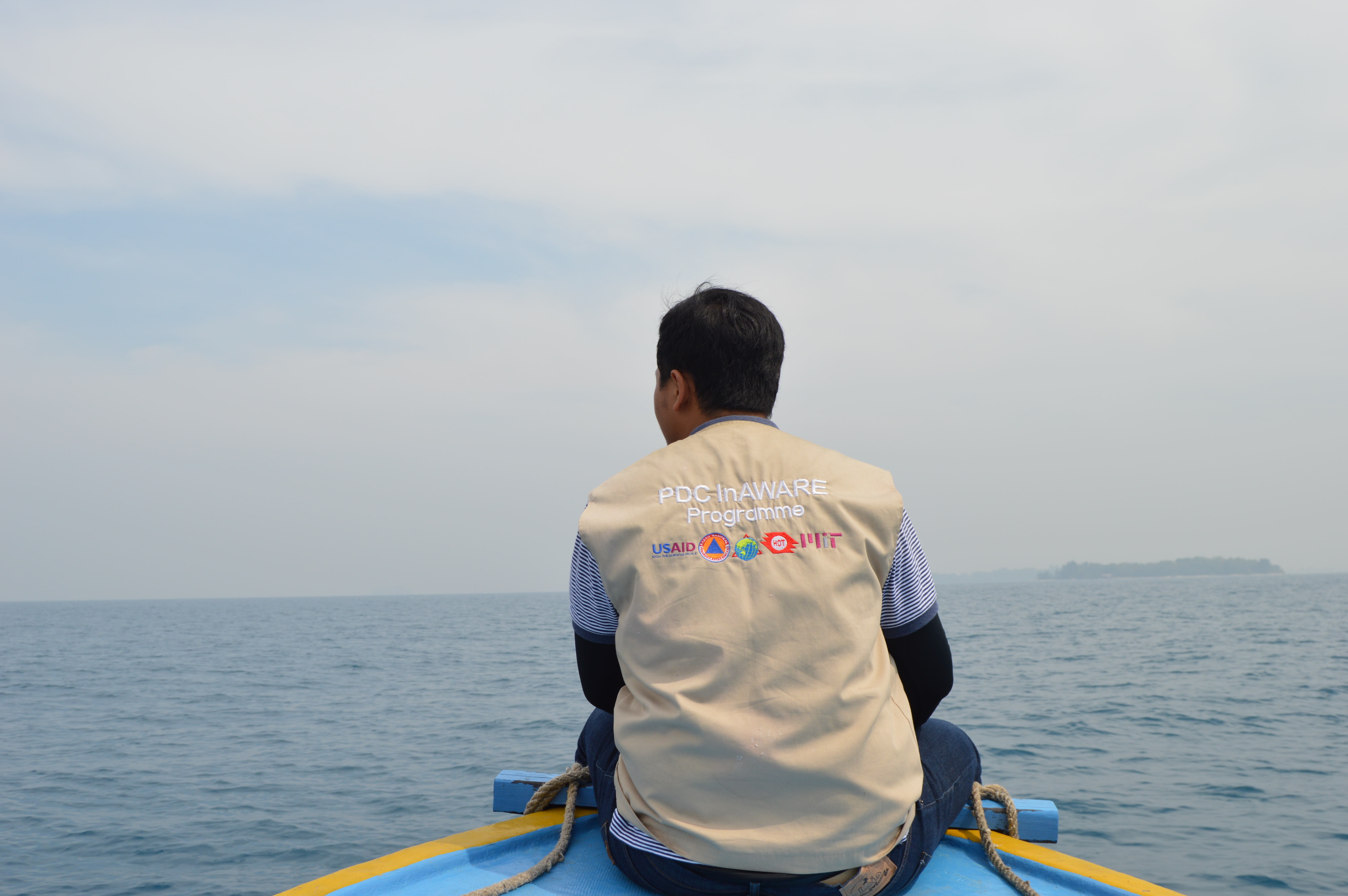
- InAWARE: In Indonesia, HOT and OSM Indonesia have been working with local and national governments since 2015 to improve disaster preparedness, response, and resilience through the use of open data. One of these projects included HOT supporting the development of InAWARE, a disaster management tool, aimed at improving risk assessment, early-warning, and disaster-management decision making in Indonesia.
- Arua Risk Atlas: With a high influx of refugees and the impacts of climate change, Uganda is facing unprecedented circumstances requiring risk management at the most localized level possible. HOT is working with UNDP and Uganda’s Office of the Prime Minister (OPM) to provide additional data and mapping inputs to hazard, exposure, vulnerability, and risk profiling in support of the development of the “Refugee hosting district Risk profiles” and Risk Atlas, by combining existing national datasets with high resolution OpenStreetMap data.
What else can be mapped?
- Undertake community asset and vulnerability mapping to strengthen resilience and adaptive capacity to climate-related hazards.
- Collaborate with national and sub-national disaster risk management agencies to improve disaster preparedness and disaster response plans.
- Map evacuation centers, health clinics, schools, and other important infrastructure during emergencies
- Map roads and buildings for disaster responders to understand where to go and how to reach those in need