Goal 11 - Sustainable Cities and Communities
Download page as PDFGoal 11: Make cities inclusive, safe, resilient and sustainable
“The challenges cities face can be overcome in ways that allow them to continue to thrive and grow, while improving resource use and reducing pollution and poverty. The future we want includes cities of opportunities for all, with access to basic services, energy, housing, transportation and more.”
In line with the New Urban Agenda and the Kuala Lumpur Declaration, open mapping can be used as a tool to improve equity, resilience, and quality of life for urban residents. Mapping work can focus on urban dwellings and infrastructure such as waste management systems, transportation links, and green spaces, to improve the social, economic and environmental quality of settlements.
What has been done?
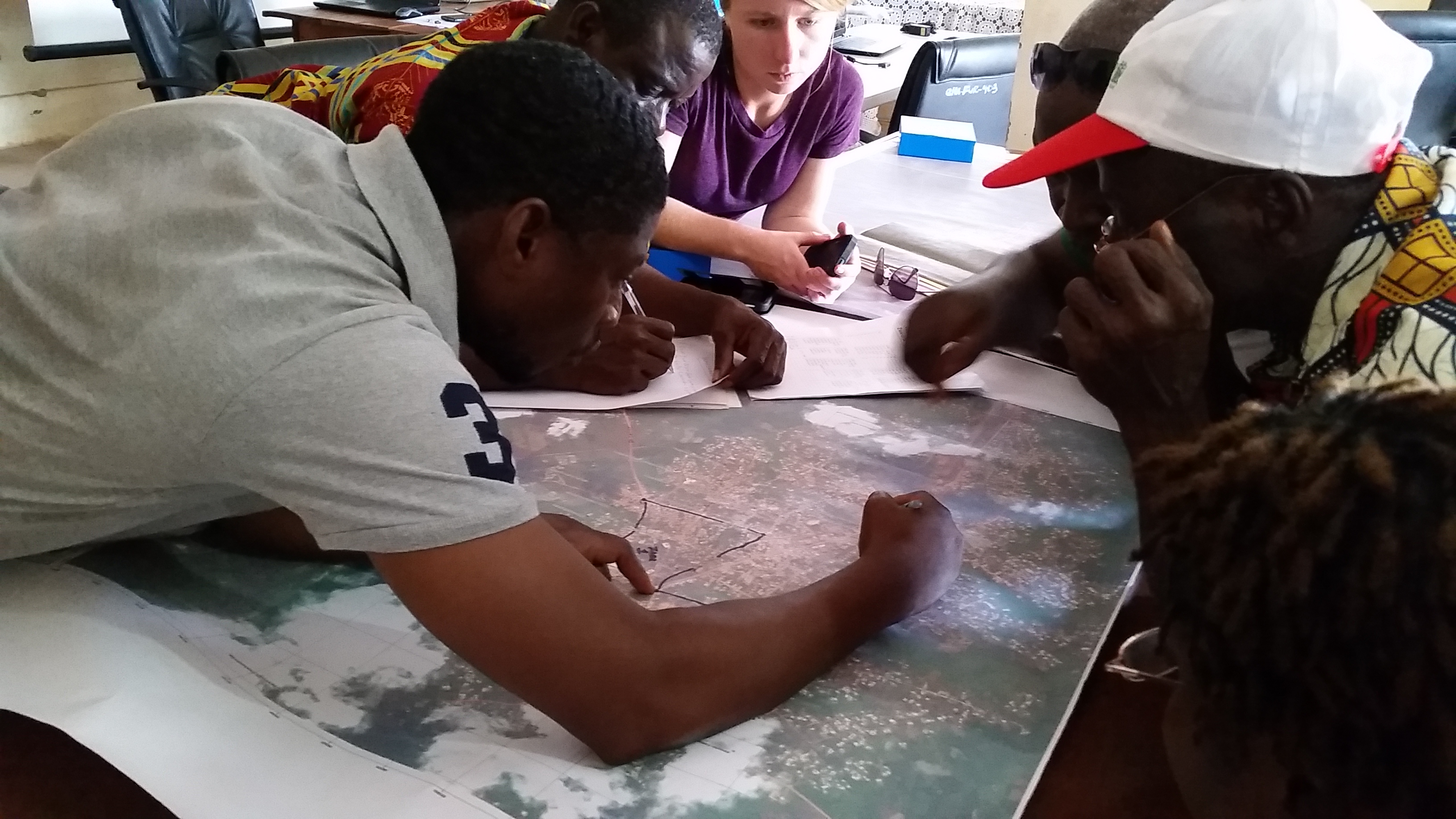
- Local Empowerment for Government Inclusion and Transparency: In Liberia, HOT worked with USAID and DAI to map administrative boundaries and service delivery infrastructure to support the development of urban resilience strategies. This project incorporated national and local government, community-based organizations, and universities to map all infrastructure, buildings, amenities, and waste points within three cities. Community leaders were provided with atlases and tools for sustainable urban development solutions.
- Action for Resilient Communities (ARC) aims to move the city of Manila one step closer in becoming more accessible for persons with disabilities. ARC aims to empower persons with disabilities and youth with mapping skills through workshops, supporting them to map the accessibility of public infrastructure for those living with disabilities. ARC will collaborate with FEUTech YouthMappers and other mapping experts in the area, building professional networks between new mappers and existing communities. ARC’s goal is to create an inclusive environment for all mappers and increase opportunities for individuals of all abilities and ages to take part in their community’s development.
What else can be mapped?
- Map the number of households, housing conditions, and access to basic services in slums and informal settlements to inform government decision-makers and advocate for improved service delivery.
- Involve slum/informal settlement residents in mapping the places they live in and making it available in OSM to enhance inclusive, sustainable urbanization, and capacity for participatory, integrated and sustainable human settlement planning.
- Create printed bus and transport maps that encourage use of safe, affordable, accessible, and sustainable transport systems.
- Map water and drainage to inform urban planning and significantly reduce the number of people affected by disasters, including water-related disasters.